Aerial Footage Shows Scale Of Major Suffolk Wildfire As Crews Battle Blaze
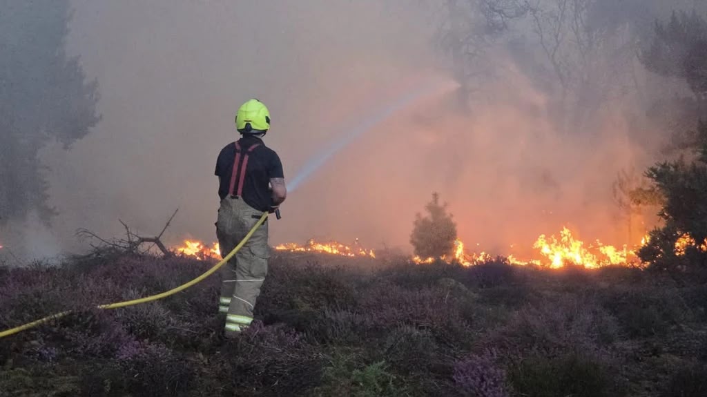
Aerial Footage Shows Scale of Major Suffolk Wildfire as Crews Battle Blaze Aerial footage has revealed the scale of a major wildfire in Suffolk as firefighters continue efforts to bring the fast-spreading blaze under control. The fire, which broke out at Dunwich Heath on the Suffolk coast, has been declared a major incident, with emergency crews battling challenging conditions caused by dry vegetation, strong winds and ongoing drought conditions. Around 90 firefighters and multiple fire appliances have been deployed to tackle the blaze, which has affected a large area of heathland near Leiston. The fire has burned approximately 100 hectares of land, prompting evacuations at a nearby holiday park housing about 200 caravans. The dramatic aerial images show vast areas of smoke and flames across the landscape, highlighting the difficulty facing crews working to contain the fire. Specialist drones have also been used to monitor the fire’s movement and assist operational decisions. Authorities have reassured residents that the nearby Sizewell B nuclear power station is not currently at risk, although the facility is being monitored due to its proximity to the wildfire. The RSPB Minsmere nature reserve, located close to the affected area, has been closed temporarily as a precaution while firefighting operations continue. Officials have warned that crews may remain on site for several days because of the size and complexity of the incident. Fire commanders have urged members of the public to avoid the area and follow safety advice as emergency services continue working to control the blaze.