TWO MET OFFICE YELLOW WEATHER WARNINGS IN FORCE AS SNOW & ICE HIT PARTS OF THE UK
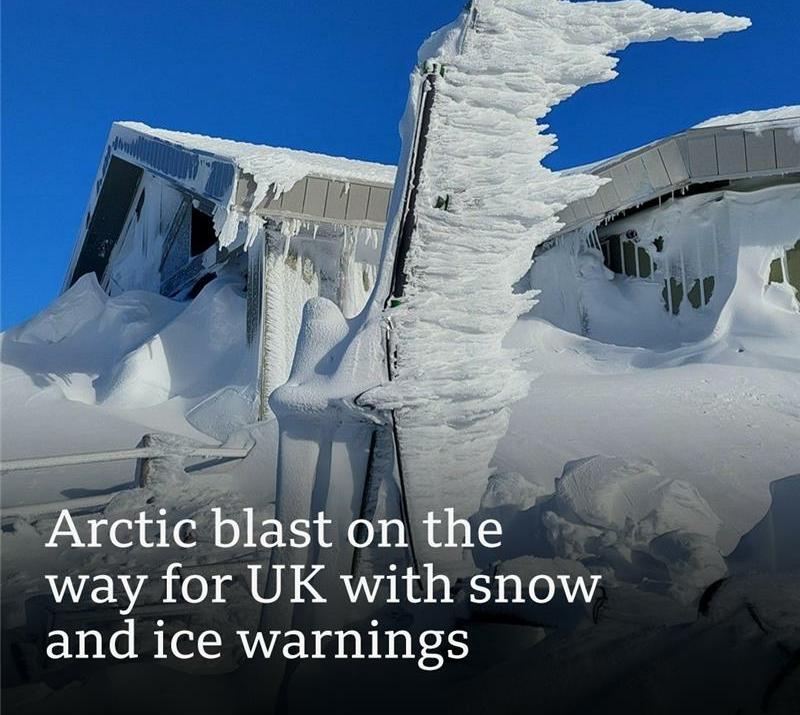
TWO MET OFFICE YELLOW WEATHER WARNINGS IN FORCE AS SNOW & ICE HIT PARTS OF THE UK Parts of the United Kingdom are under yellow weather warnings for snow and ice as a mass of Arctic air sweeps into the region, bringing colder temperatures and wintry conditions that could disrupt travel and daily life. The warnings were issued by the UK’s national weather authority, the Met Office, amid forecasts of snow showers, icy roads, and widespread frost.
According to the Met Office’s official warnings system, two separate yellow weather warnings are active:
Snow & ice warning in Scotland in effect from late Thursday afternoon through midday Friday, covering most of Scotland including Central, Grampian, Highlands, Orkney & Shetland, and other northern regions. Snow & ice warning in northern and central England running from Thursday evening into Friday lunchtime, affecting parts of the East Midlands, North East England, North West England, Yorkshire & Humber, and the West Midlands.
These warnings are classified as Yellow indicating medium likelihood of low‑impact weather events that could still cause travel delays and hazards on untreated surfaces.
The wintry surge is linked to a cold Arctic maritime airmass descending over the UK, which is expected to bring colder‑than‑average temperatures, snow showers, and overnight frost. Snow is predicted initially over higher ground before falling to lower levels later into Friday. 1‑2 cm of snow could settle on lower ground by Friday morning;
2‑5 cm on hills above ~300 m (984 ft);
Up to 10 cm locally on higher elevations, particularly in northern parts of England and much of Scotland. Once the snow clears south early Friday, temperatures are expected to plunge further, increasing the risk of ice on untreated roads and pavements.
The Met Office warns that the combination of snow and ice could lead to: Slower journey times on roads, buses and trains,
Icy patches on untreated roads and footpaths,
A higher risk of slips and falls for pedestrians,
Potential travel disruption across affected regions.
Drivers and commuters are advised to plan ahead, check local forecasts, and allow extra time for journeys. Staying updated with live weather information and preparing winter safety kits including warm clothing, food, water, and vehicle ice scrapers was recommended to reduce risks. The Met Office emphasises that while the warnings are not the most severe, they still reflect conditions that could complicate travel and daily activities, especially where snow settles and temperatures drop swiftly. Those in impacted areas are urged to monitor updates and take the necessary precautions to stay safe. Long‑range forecasts suggest that conditions may improve over the weekend as a milder weather system from the Atlantic arrives, but pockets of wintry showers and frost could continue to affect parts of the UK beyond Friday.
Yahoo News