After A Prolonged Period Of Relentless Rain And Generally Gloomy Conditions Across
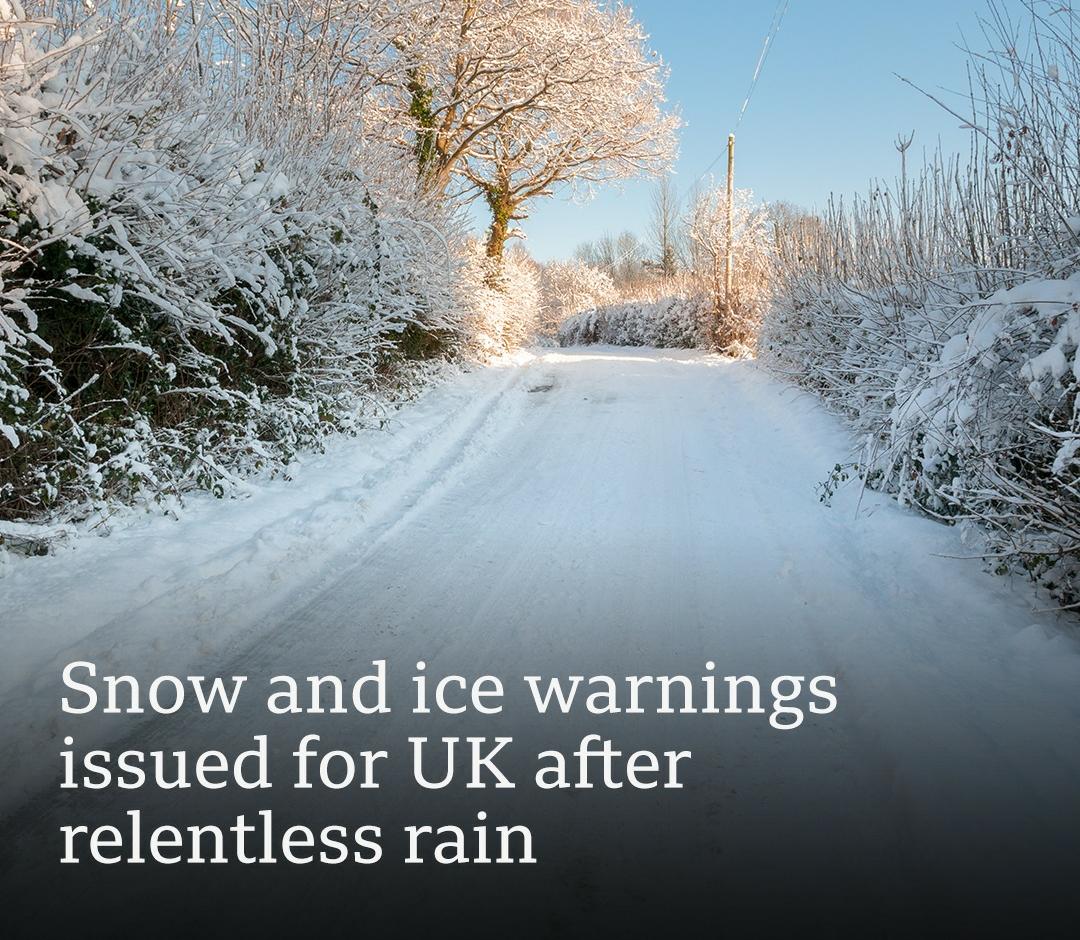
After a prolonged period of relentless rain and generally gloomy conditions across the United Kingdom, meteorologists are forecasting a significant return of winter weather, with snow and ice expected to affect large parts of the country over the coming days, according to the latest forecast from and UK weather agencies. Snow and Ice on the Horizon
The Met Office has issued yellow weather warnings for snow and ice covering broad regions, particularly Scotland and northern England. These warnings are in force from Thursday afternoon through Friday, signalling the arrival of colder, more wintry conditions following weeks of mild, wet weather.
Arctic air moving southwards from higher latitudes will bring temperatures significantly below normal for this time of year, with conditions expected to turn sharply colder than recent weeks, which have been dominated by rain and cloud.
Within the period covered by the warnings, the Met Office anticipates snow showers and ice formation on roads, pavements, and exposed surfaces, with a few centimetres of snowfall possible particularly over elevated areas above 200 metres in the north. Some higher ground could see up to 10 cm of snow, especially in parts of Scotland and northern England. Health and Travel Precautions In addition to the snow and ice alerts, the UK Health Security Agency (UKHSA) has issued a cold weather health alert for central and northern England spanning Friday through next week. This alert underscores increased risks to vulnerable populations as temperatures drop.
Motorists and commuters have been warned of potential travel disruptions, including slippery roads and slower public transport services. Drivers are being advised to carry winter supplies such as ice scrapers, warm clothing and emergency provisions.
Travel And Tour World Scotland: Most areas are under snow and ice warnings, with cumulative snowfall expected on higher terrain and icy conditions likely across lower elevations.
Northern England and the Midlands: Snow and freezing temperatures are forecast to impact daily routines, including risk of icy roads and disruption to travel
Central and Southern UK: While colder air will spread south, snow is more likely at higher elevations, with ice and frost posing hazards further south. The shift to colder conditions follows weeks of persistent wet weather and gloomy skies, particularly in Scotland where some areas recorded extended periods without sunshine. The new Arctic inflow marks a notable swing from the recent moderate winter pattern. According to the latest temperature and precipitation outlook for the UK, colder conditions will prevail in the short term, with light snow possible on Friday morning, before periods of mixed rain and snow continue through the weekend and next week in spots. Authorities are urging the public to stay updated with the latest forecasts, prepare for hazardous travel conditions, and take extra precautions especially vulnerable individuals as the country transitions into a more defined winter pattern once again.